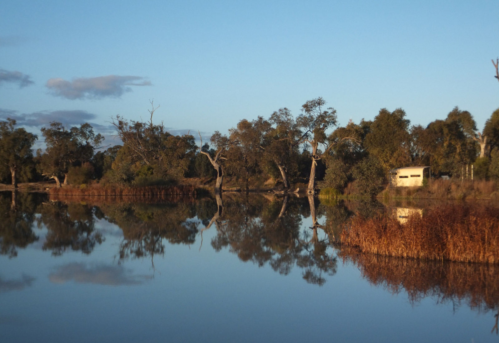

A great area for birding between Dubbo and Wellington, with areas of remnant woodlands amongst agricultural lands. Great woodland and riparian birds like Diamond Firetails, Little Eagle, Speckled Warbler and many others have been seen in this area.
One route through the area is described below and in the map (see printed Guide or you can download an electronic version via the front page). The approximate driving distance is 100km round trip from the Newell Highway/Obley Road intersection (the turn-off to Taronga Western Plains Zoo in Dubbo). The distances below refer to the approximate road distance from this intersection.
Site 1 - 4km - Cumboogle Landcare Reserve, opposite the Morris Park Race track. Drive up the small road and park beside it. Climb through the fence. This is a mixed box woodland. Red-capped Robins have been seen here.
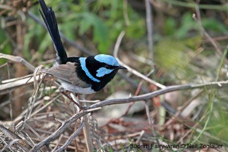
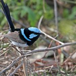
Site 2 - 8km - the Cumboogle Fire Brigade Shed. This small patch of woodland has had Varied Sittellas and Superb Fairy wrens.
10km - Turn left into Benolong Road.
Site 3 - 21km – Go left at the Benolong Road T-intersection, sign indicating towards Dubbo. Stop on the old bridge over the Little River, if no traffic and check out the water, if any, for ducks and herons.
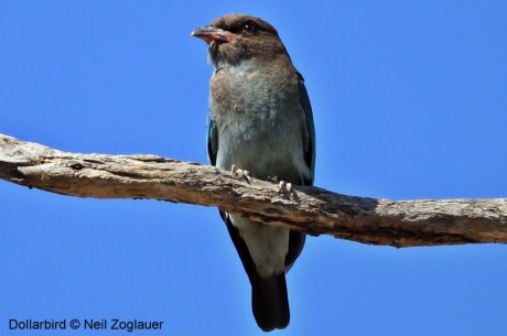
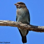
Site 4 - Approximately 29km on your left will be Peach Trees Reserve on the Macquarie River. Dollarbirds and Sacred and Azure Kingfishers could be seen here. A good morning tea or lunchtime stop.
Site 5 - Back on the road again, at the T-intersection just past Peach Trees (40km) turn left towards Ponto and Geurie. Over the other side of the old bridge on the MacquarieRiver, is a large area to stop and have a wander through Scabbing Flat Reserve.
From here, either continue on to Geurie cemetery ands Bald Hills Nature Reserve (see elsewhere in this guide), both great for birds, or turn around and head south towards Arthurville.
31km – the River Road goes off to the east (left) at this intersection. This heads down to the Macquarie River after approximately 1km. If you continue along this road you will eventually get to Wellington via Mt Arthur Reserve (see elsewhere in this guide).
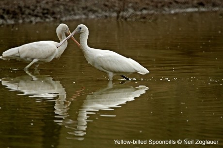
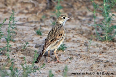
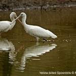
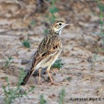
Otherwise continue south along the Geurie-Arthurville road towards Arthurville keeping an eye out for Australian Pipits and other grass birds. Continue on, crossing the old railway line with Bushrangers Hill on your left. There are some areas of nice woodlands along this section (Site 6) and also two dams, one quite large which always has a large number of water birds including Yellow-billed Spoonbills.
Site 7 - 45km – continue straight ahead through this four-way intersection into Little River Road, following it to cross a low-level bridge over the Little River again. Stop here for a wander.
Continue on this road as it turns right (north) and becomes the Nubingerie Road. The road climbs showing good views to the west and north. When you reach the top of the hill (Nubingerie Road/Eulandool Road) you can either turn left to head back to Obley Road, or turn right and continue to Benolong Road, where you turn left back towards Dubbo.
