
Take the Narromine road from Dubbo (Mitchell Highway) for approximately 12-13 kms (from the 110km/hr sign leaving Dubbo) and turn right onto a gravel road just after the Brummagen Creek bridge. There is no signpost to the reserve. Look for a property entrance ‘Glen Ayr’ and a white letter box No. 2696 just as you turn off the highway. Then proceed for approximately 1 km off the highway to the reserve along a narrowing gravel road. From Narromine, take the Dubbo road for approximately 10 kms and turn left just before the Brummagen Creek bridge – see landmarks to look for, described previously.
32°13’56.81″S, 148°21’49.19″E
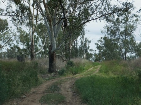
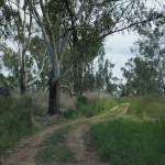
Sealed road to the turn off the highway. The roads in the Reserve are not sealed and may be impassable after moderate to heavy rain without 4WD.
Not recommended.
Fair.
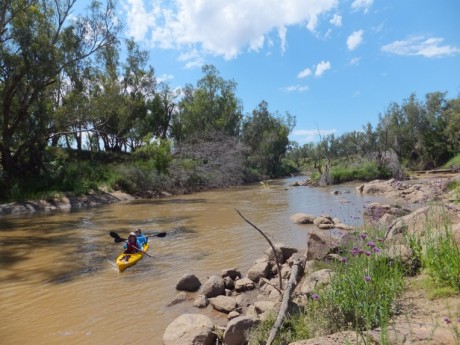
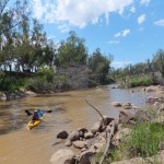
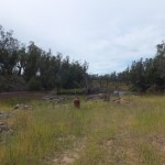
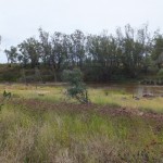
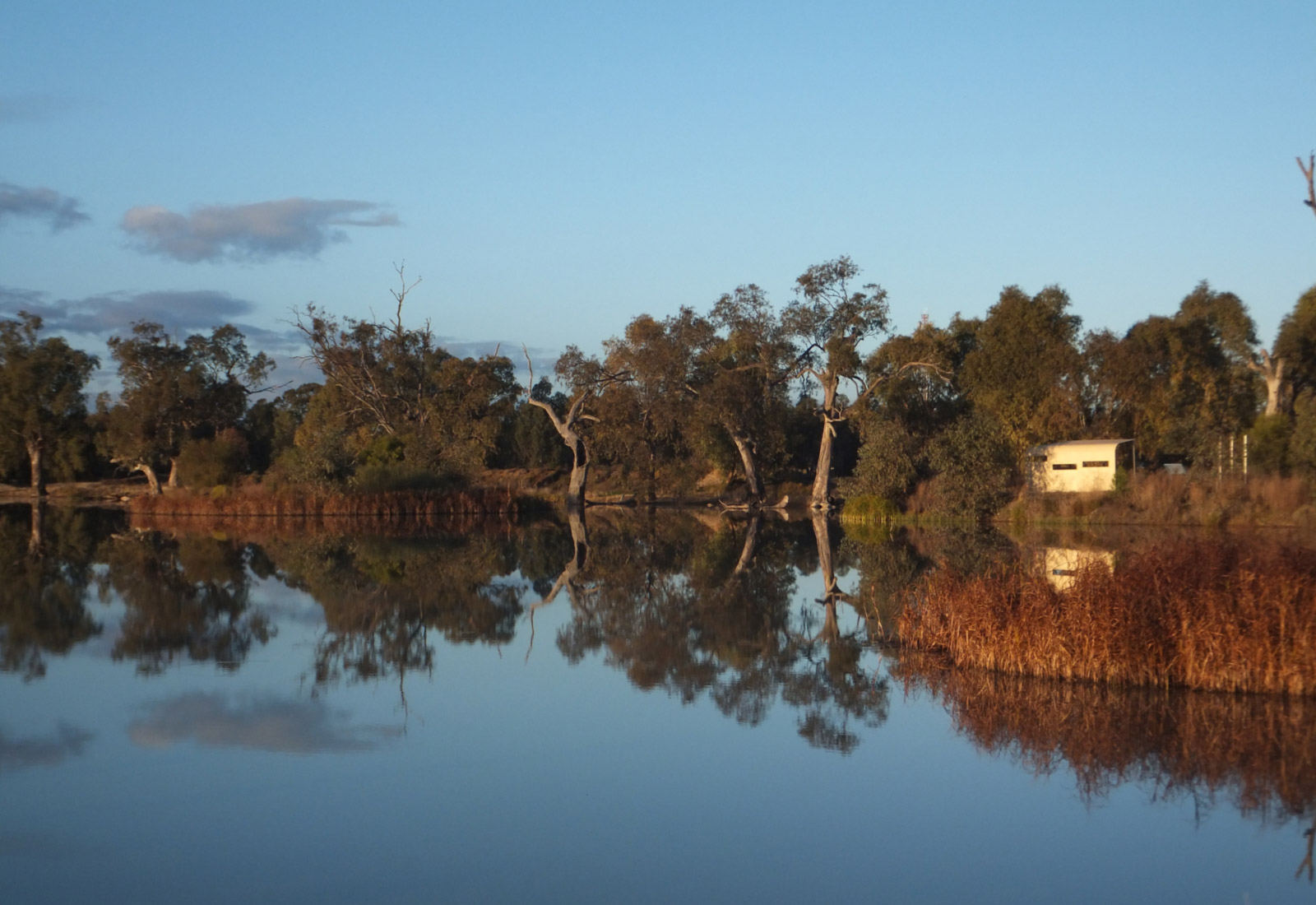
There are no toilets or shower facilities. Rubbish bins are provided. This is not a reserve with a clearly defined beach as the river is quite rocky (see photo). This is a Travelling Stock Route – see Glove box guide for conditions of use.
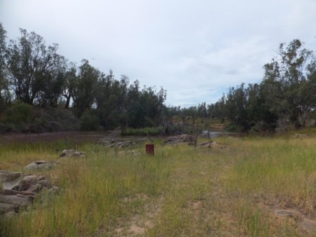
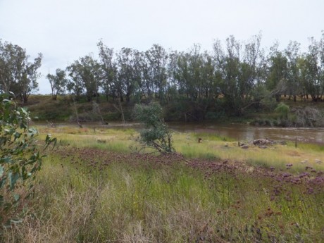
As the photos show the river here is quite rocky which makes navigating upstream in a boat challenging. There are deep water areas here where fish hang out.
