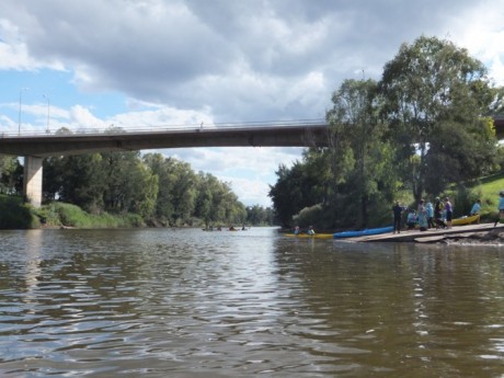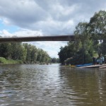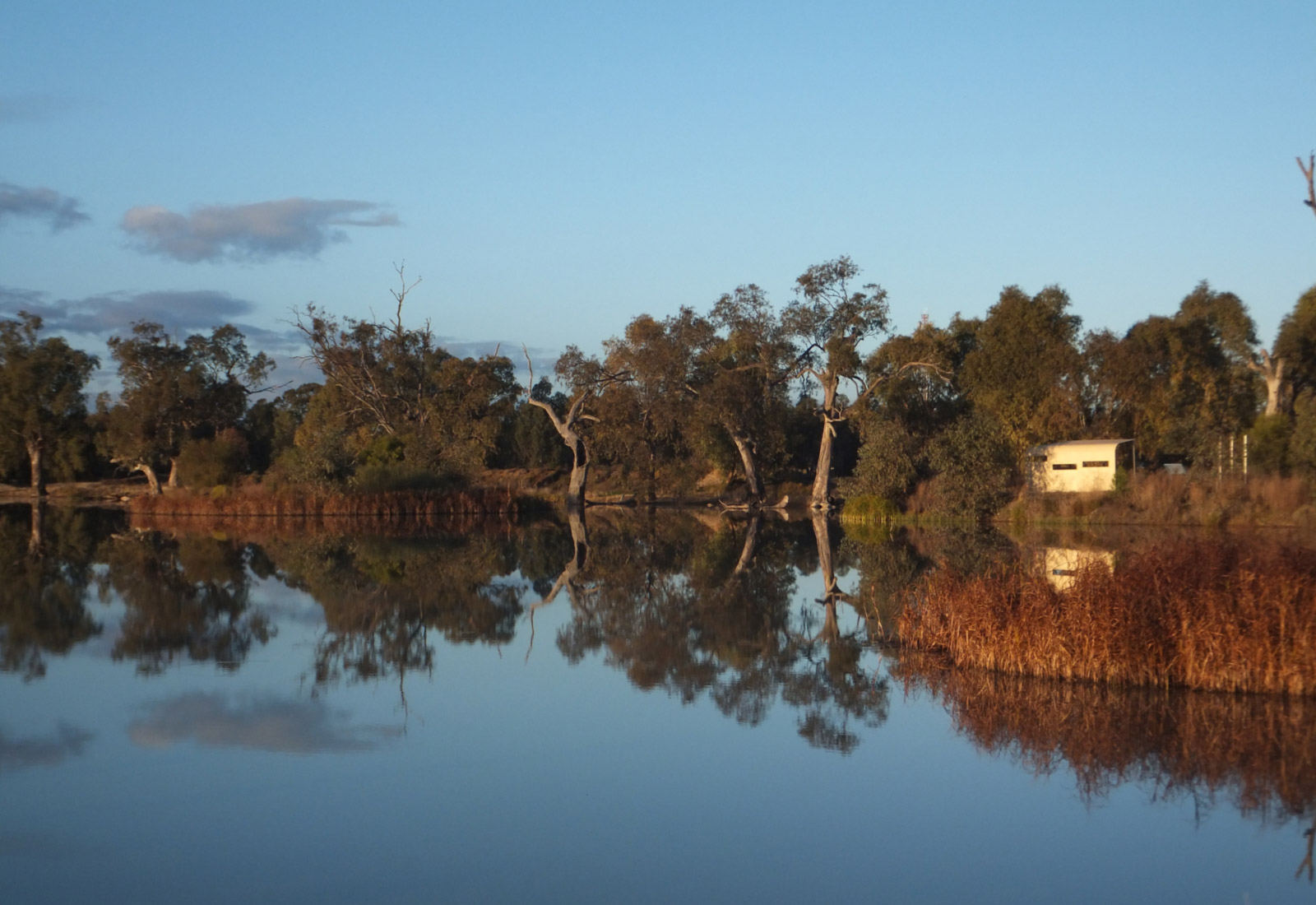

Opposite Riverbank Park – which runs parallel to Macquarie Street - the main street of Dubbo. The boat ramp lies more or less under the main (L H Ford) bridge crossing the Macquarie. Look for the Tallarook Motel right near the round-about beside the bridge – the park is right in front of it. Alternatively, take Stonehaven Crescent off the Newell Highway – which runs between the Council Caravan Park and the Cattlemen’s Motel – opposite fast food alley!
32°14’57.20″S, 148°35’41.61″E
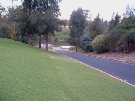
Sealed road access with turning space.
There is a concrete boat ramp (see photo). There is also another boat ramp just downstream on the opposite side of the river – see Riverbank Park – previous entry.
Excellent.
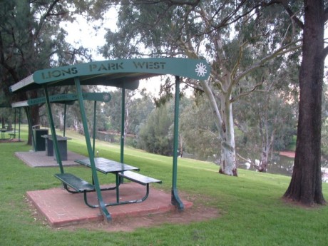
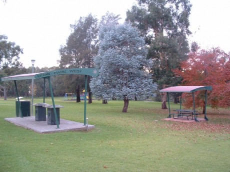
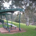
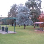
No camping. Bar-b-que facilities and picnic tables, toilets, kids playground.
The Tracker Riley Cycle and Walking Track runs through this reserve. If the river flow is up, then it is possible to boat upstream to the Council owned ‘top’ weir but stay well clear of it if you head up that way.
