
Travelling along the Mitchell highway between Wellington and Dubbo there are two signs to Ponto Falls – it doesn’t matter which you take. The road is sealed (although not very wide in places!) except for the last few kilometers.
32°27’57.20″S, 148°49’14.71″E
Fine to get there although the roads in the Reserve are not sealed and may be impassable after moderate to heavy rain without 4WD. There are two gates to open. Please leave them as you find them.
Best done at the gravel beach at the downstream end of the reserve.
Fair – good (better near the beach).
There are rubbish bins present. Overnight camping is allowed although there are no designated camping areas. There are no toilets or shower facilities.
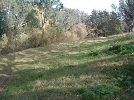
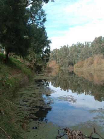
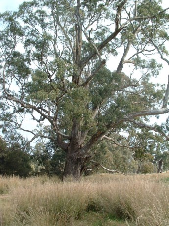
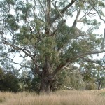
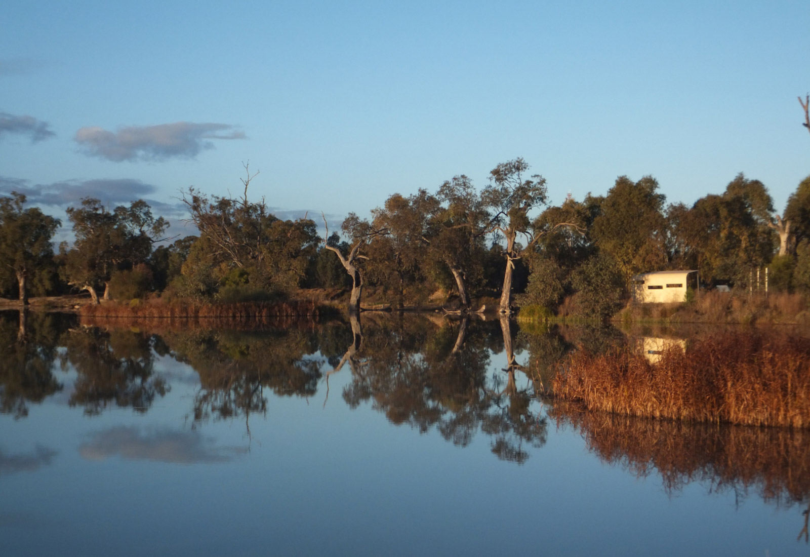
This is long narrow reserve so there’s lots of space. In this region ‘falls’ are not waterfalls but shallow, rocky riffle areas. As the photos show the river is relatively wide here apart from the ‘falls’ area near the beach.
