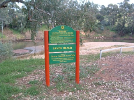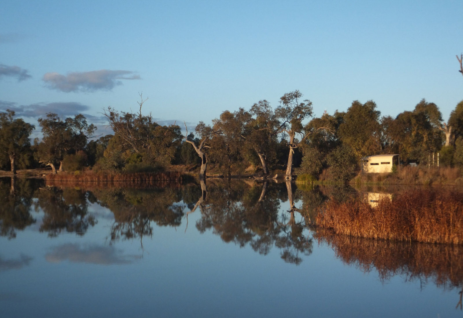

If coming from the Wellington, Geurie direction along the Mitchell Highway turn left at the lights just before the L H Ford Bridge and then take the first right into Bligh Street. Follow this road a short distance until it veers to the right, where you take the left hand turn and follow this road to Sandy Beach. Otherwise, if you’re in the main shopping area, turnoff Macquarie street toward the river, and then follow Bligh street under the L H Ford bridge until you see Sandy Beach Road on your right.
32°15’23.41″S, 148°35’26.32″E
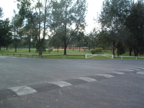
Sealed road access with parking for vans and lots of turning space.
There is no concrete boat ramp (but there are two further down the river – see the Riverbank Park and Lions Park West descriptions).
Good.
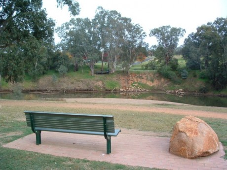
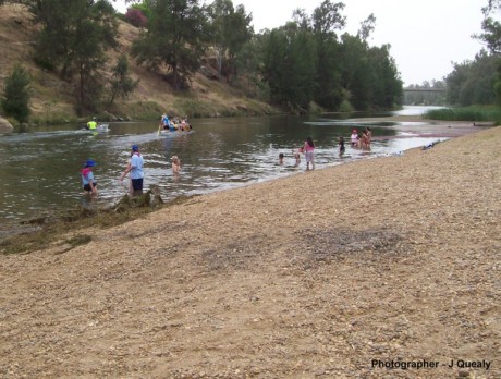
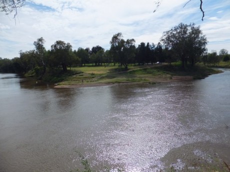
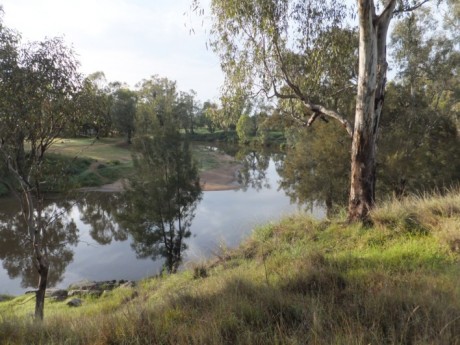
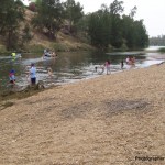
No camping allowed. There are toilets, barbeques and rubbish bins. Access to the river is good as the beach is shallow and with gravel.
Tracker Riley Cycle and Walking Track runs through this reserve. This is also the home of the Dubbo dragon boat and canoe clubs.
