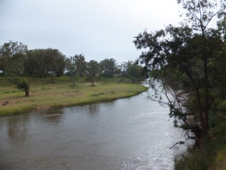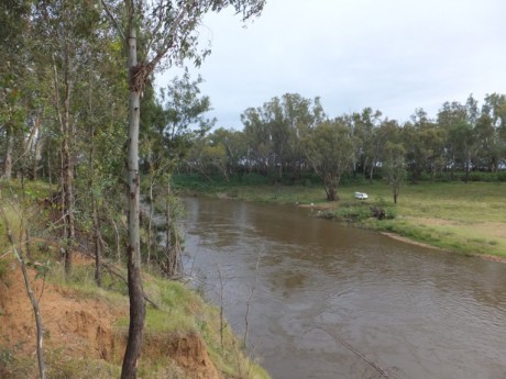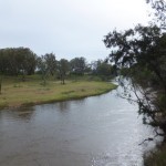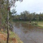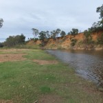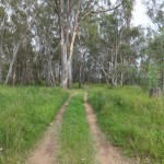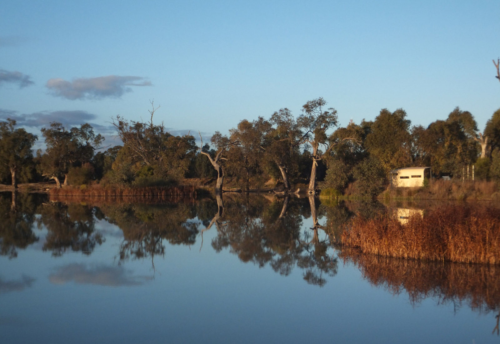

This Reserve is on both sides of the river. To access the southern side, take the Narromine road from Dubbo – the turnoff to the reserve is approximately 6.6 kms from the 110kms/hr sign as you leave Dubbo. Turn right onto a gravel road and follow this – through a low level crossing – for about 1 km to the reserve, past the ‘No through road’ sign.
To access the northern side, follow the directions to Redbank Reserve – see earlier – and proceed past it for 2.8 kms and turn left into Rawsonville Road. When you reach a T intersection go left and follow for this a short distance to the gate into the Reserve. There may be cattle grazing in the reserve so be sure to shut the gate. An alternative way to the northern side Reserve is off the Mitchell Highway from Dubbo to Narromine at the Rawsonville Bridge turnoff (to the right). Follow this until a right turn to Rawsonville Hall and proceed beyond it for a few kilometers to the Reserve.
32°11’23.04″S, 148°29’44.97″E (for the southern side of the river)
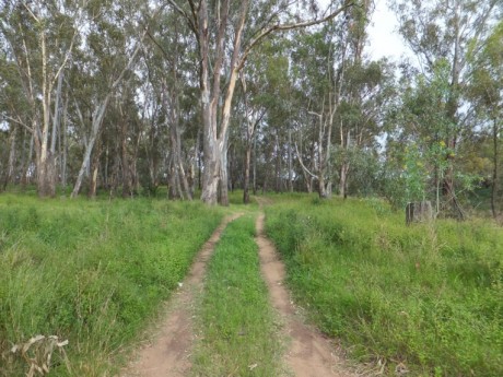
Good on both sides, although the roads in the Reserve are not sealed and may be impassable after moderate to heavy rain without 4WD.
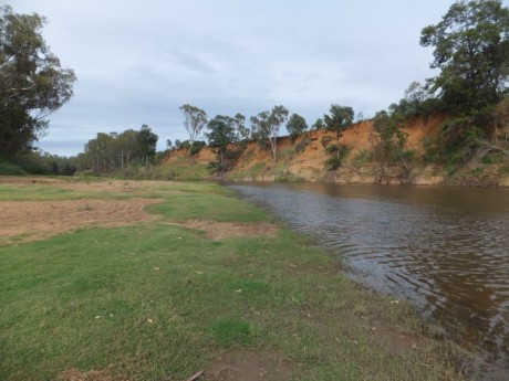
Fair to good depending on river height – easier access to beach on the northern side for launching.
Varies from good to impossible.
There are no toilets or shower facilities. This is a Travelling Stock Route – see Glove box guide for conditions of use.
This reserve is long and narrow and follows the river for quite some distance offering many areas to enjoy and try your luck.
