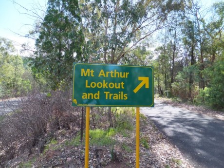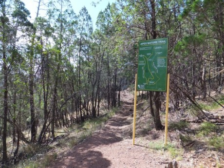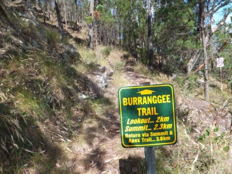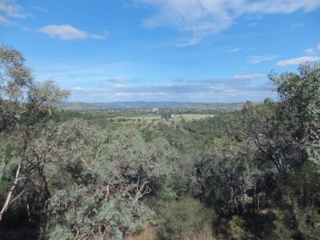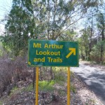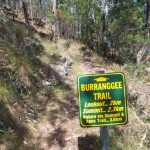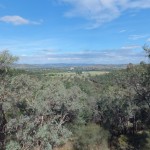

First sighted by the explorer John Oxley in 1817, this Reserve of approximately 1,300 hectares is a short drive from the centre of Wellington. It offers several walking trails of various durations plus a lookout to gaze down across the town, its two rivers (the Bell and Macquarie) and valley.
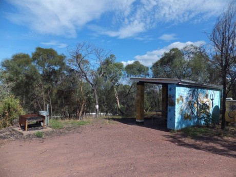
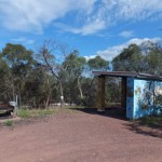
There’s a bar-b-que, a shelter and toilets. No camping is allowed and caravans are not recommeded as the road is quite steep and narrow in places.
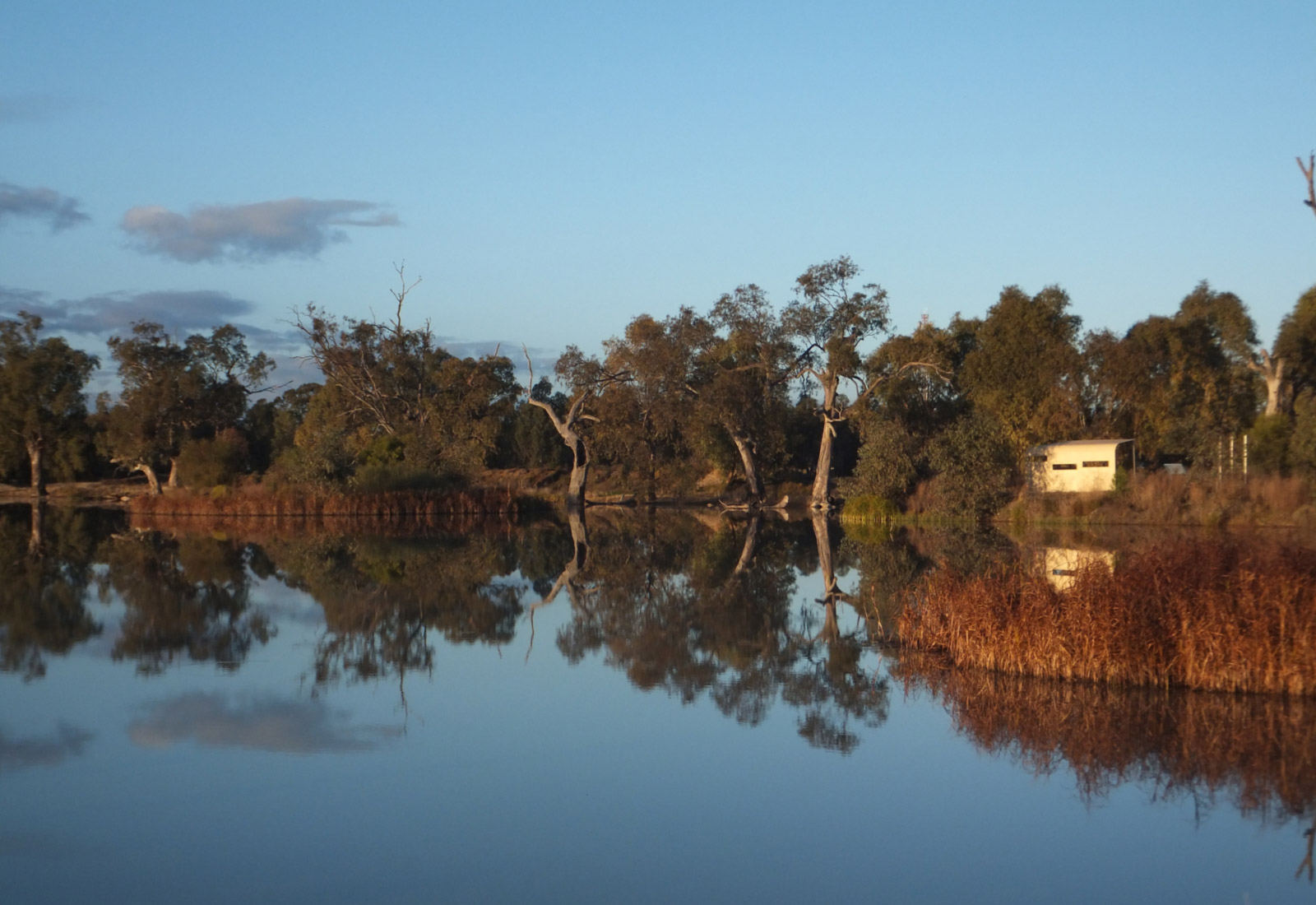
During spring the Reserve is a picture of colour and this is also a great bird watching location.
If coming from the Dubbo end of town go straight through the first round-about and then turn right at the second round-about, cross the Bell River and then proceed for approximately two kilometres and you’ll see the sign to the Reserve on your right. If coming from the Molong direction turn left at the first round-about and then go straight ahead at the second one.
For the entrance 32°33’11.04″S, 148°54’58.41″E
Go to http://www.visitwellington.com.au or go see the friendly people at the Visitor Information Centre in the centre of town.
Cactus Cafe; Hermitage Hill Resort; Wellington Caves, Phosphate mine etc, the Caves Bottle House; Lion of Waterloo historic country pub; Bridge Motel and Riverside Cravan Park. Towards Dubbo there is the Garling Gallery in Wongarbon, several riverside parks and reserves and in Geurie, the Bald Hills mountain bike trails.
