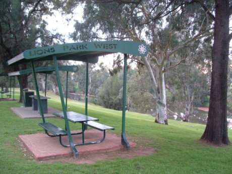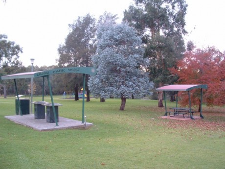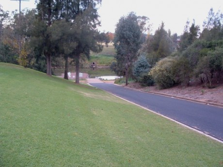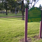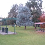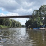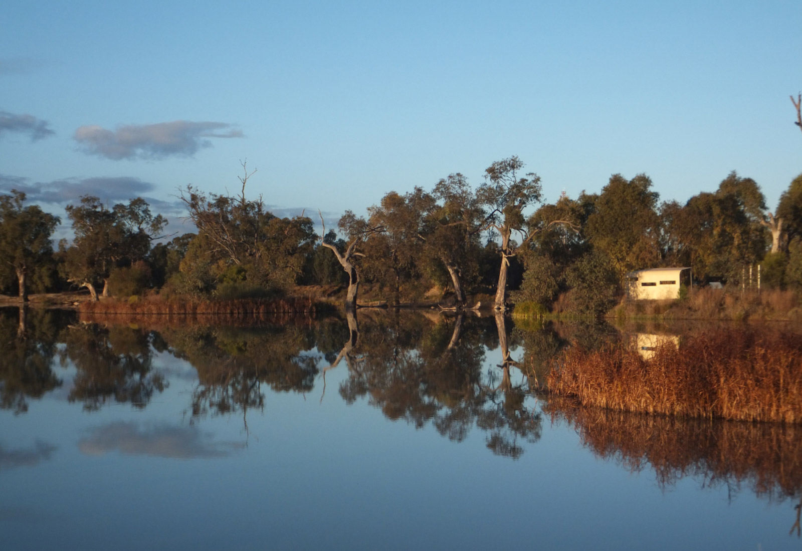

Another great area for a picnic, bar-b-que or stroll along the river right in the heart of Dubbo. These parklands are on the opposite side of the river to the main shopping area and Riverbank Park. Running through the park is the Tracker Riley Cycleway and Walking trail which allows you to do either 6 or 13km loops that run along both sides of the river or out to Taronga Western Plains Zoo. There are also toilets, easy parking with large turn-around area, a children’s playground, easy access boat ramp (see photo) and great views down onto the river.
Opposite Riverbank Park - which runs parallel to Macquarie Street, the main street of Dubbo. The boat ramp lies more or less under the main bridge (L H Ford) crossing the Macquarie. Look for Tallarook Motel right near the round-about beside the bridge - the park is right in front of it. Alternatively, take Stonehaven Crecent off the Newell Highway - which runs between the Council Caravan Park and the Cattlemen’s Motel - opposite fast food alley!
32°14’57.20″S, 148°35’41.61″E
The area is managed by Dubbo City Council. Go to www.dubbo.com.au for more information.
Right on it!
All of Dubbo’s attractions. Opposite Riverbank Park whcih is behind the main shopping area - and on the Tracker Riley cycle and walking track - which also leads you to Taronga Western Plains Zoo. Accommodation near the river (river bedz) are the Abel Tasman Motor Inn and Dubbo BIG4 Parklands. There are several riverside reserves that join this Park (Sandy beach, Sir Roden Cutler Park and Riverbank Park).
